Dyfi ULTRA
From WESWIMRUN
- Date Sat 5th June 2021
- Time 07:30
- Location Aberdovey, Gwynedd, West Wales
Event summary
The route is a true challenge, featuring 15 peaks, including the iconic Cadair Idris ridge-line and summit. As you navigate this incredible course, you’ll enjoy sections of the Welsh Coastal Path and ascend several remote peaks surrounding the Dyfi Estuary, a UNESCO Biosphere Reserve. Join us for this amazing opportunity to explore one of Britain's most beautiful and least-traveled ultra routes while pushing your limits in the great outdoors!
Dyfi ULTRA
Sat 5th June 2021
Organiser's Description
Starting from Aberdovey, on the West coast of Wales, this is possibly Britain's most beautiful and least-traveled 50 mile ultra route. As well as covering sections of the Welsh Coastal Path, and the whole Cadair Idris ridge line, you will also summit several remote peaks around the Dyfi Estuary which is a UNESCO Biosphere Reserve. It is a beautiful part of Snowdonia, which you will come to realise on your 50 mile journey.
Races
What's Included
Online live GPS Tracking for each competitor
Live leader-board/positions & results
Four main check points with a range of nutrition & drinks
An additional basic aid station on the summit of Cadair Idris
Professional event photos
Finisher's special edition bottle opener
FREE Reccie run by arrangement
Post-race hot drinks and refreshments
Transport back from cut-off if required - CP3, 55km: 11 hrs, 18:00
Event safety cover throughout
Route Highlights
The whole of the Cadair Idris massif and ridge line, from sea to summit
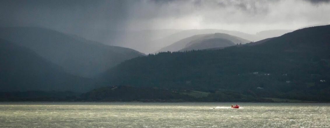
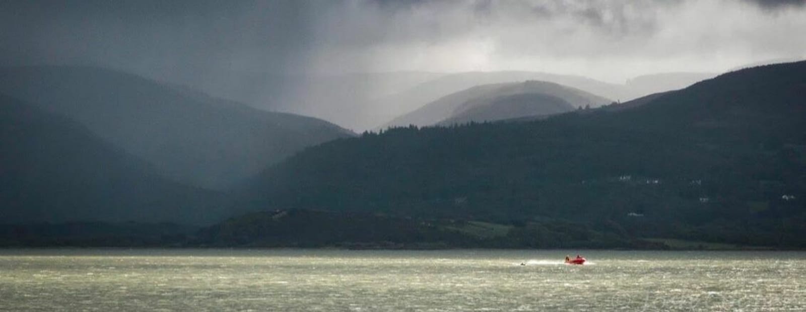
Breath-taking views over the Mawwddach estuary, the Dyfi estuary & the Dysynni Valley
15 peaks that are far from the crowds
The Welsh Coastal Path
Dyfi Forest
The Dyfi Biosphere
The beautiful, historic fishing village of Aberdyfi
The route reaches parts of Snowdonia that few have journeyed through
Location
Neuadd Dyfi, Aberdovey, Gwynedd, West Wales LL35 0NR
How To Get There
By car: Aberdovey is situated on the coast at the South end of Snowdonia National Park, between Barmouth and Aberystwyth. It is less than 2 hours drive from Chester and 90 mins from Shrewsbury. LL35 0NR for your sat nav.
By train: Aberdovey is on the Cambrian Coast railway line, described by The Guardian as one of the most epic train journeys in the World. Aberdovey station is 1 minute walk from registration. Coming from the West you will pass the old market town of Machynlleth, once the administrative capital of Wales. Further details at thetrainline.com.
Timings
Registration: Fri 18:30 - 20:00 or Sat 05:30 - 06:00
Race Start: 06:30
Other Information
Participants are expected to be competent navigators, willing and able to use their map + compass to navigate, particularly in the event of poor visibility.
The 5 Check Points:
- CP1 14km
- CP2 32km
- CP3 37km
- CP4 55km - Cut off 12hrs, 18:00
- CP5 74km
There will be an additional basic aid station on the summit of Cadair Idris at 32km (CP1a).
Transport back from cut-off if required - CP3, 55km: 11 hrs, 18:00
We are offering a free reccie run for the 2nd half of the route, as this is the least travelled, and the section where you will be most tired. We will move at a sociable pace - walk the ups, easy pace jog on the flat and down sections. Date TBC.
Mandatory Kit
GPS Live Tracker - collect at registration
Waterproof jacket
Spare fleece/similar
Gloves
Hat
Survival/Thermal/Bivi bag
Water bottle/bladder - min. 1 litre
Emergency rations - min. 500 calories
Race-cup
Whistle
Fully charged mobile phone
A watch
Map + compass + GPS watch/device
Head torch, minimum 100 lumens (fully charged/new batteries)
Reviews
Done this event?
First-hand event reviews from people who have been there, done that and got the breathable T-shirt, really help everyone choose their next event.
Add a reviewLocation
Neuadd Dyfi, Aberdovey, Gwynedd, West Wales LL35 0NR
Who's In
See who else did this event
Be the first
No-one has marked this event as 'Done'. Will you be the first?
Dyfi ULTRA